 vesseltracker.com
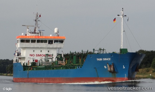
Vessel MAZU IMO: 9190195, MMSI: 636022080 Chemical/Oil Products Tanker
UTC, 37.90304, 23.06554, course: 274, speed: 0.2
UTC, 37.90275, 23.06531, course: 300, speed: 0.2
2026-01-27 18:21:25 UTC, 37.90346, 23.06526, course: 256, speed: 0
Live AIS position:
UTC. Near Soussaki),
updated 2026-01-27 18:21:25 UTC.
Find the position of the vessel MAZU on the map. The latter are known coordinates and path.
marine traffic ship tracker show on live map
The current position of vessel MAZU is 37.90346 lat / 23.06526 lng. Updated: 2026-01-27 18:21:25 UTCCurrently sailing under the flag of Liberia
MAZU built in 1999 year
Deadweight:
6535 tDetails:
Last coordinates of the vessel:
UTC, 37.90230, 23.06478, course: 323, speed: 0.4UTC, 37.90304, 23.06554, course: 274, speed: 0.2
UTC, 37.90275, 23.06531, course: 300, speed: 0.2
2026-01-27 18:21:25 UTC, 37.90346, 23.06526, course: 256, speed: 0