 vesseltracker.com
Live AIS position:
40.78249° N, 28.19587° E UTC. 15 nm SE of Marmara Ereglisi),
updated 2025-11-22 05:02:02 UTC.
Find the position of the vessel BADGER on the map. The latter are known coordinates and path.
marine traffic ship tracker show on live map
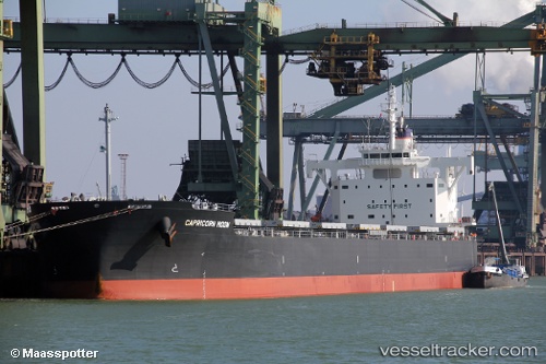
The current position of vessel BADGER is 40.78249 lat / 28.19587 lng. Updated: 2025-11-22 05:02:02 UTCCurrently sailing under the flag of Liberia
BADGER built in 2015 year
Deadweight:
81828 tDetails:
Last coordinates of the vessel:
UTC, 40.65722, 27.45483, course: 66, speed: 11.2UTC, 40.72503, 27.76817, course: 80, speed: 10.9
UTC, 40.75525, 28.01416, course: 80, speed: 11.1
2025-11-22 05:02:02 UTC, 40.78249, 28.19587, course: 82, speed: 11.2