 vesseltracker.com
 CL AQABA
Current Status
Where is the vessel?
CL AQABA is currently in 124 nm W of Tinaquillo, based on AIS data received about 3h ago.
Latest AIS update:
Current position: 10.26497° N, 66.23095° E (124 nm W of Tinaquillo)
Average speed (last 7 days): Loading…
Average speed (last 30 days): Loading…
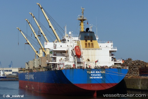
Vessel profile: CL AQABA is a Bulk Carrier with dimensions m x m.
This page combines live AIS, route history, probable destination signals, nearby traffic, and port activity for practical vessel monitoring.
The current position of vessel CL AQABA is 10.26497 lat / 66.23095 lng. Updated: 2026-04-08 04:10:05 UTCNearest reference points:
- 98 nm S of Tinaquillo
Currently sailing under the flag of Liberia ![]()
Details:
Live Vessel CL AQABA Analytics (details, animations, etc.)
Recent AIS points (UTC):
2026-04-07 23:40:57 UTC · 9.98776, 67.02805 · SOG 11 kn · COG 291°2026-04-08 01:53:08 UTC · 10.12346, 66.63621 · SOG 11.4 kn · COG 291°
2026-04-08 01:53:08 UTC · 10.12346, 66.63621 · SOG 11.4 kn · COG 291°
2026-04-08 04:10:05 UTC · 10.26497, 66.23095 · SOG 11.1 kn · COG 289°