 vesseltracker.com
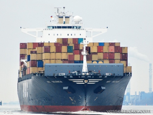
 MSC LUANDA VIII
Current Status
Where is the vessel?
MSC LUANDA VIII is currently in 38 nm NE of Gulfmex Lightering Area, based on AIS data received about 1h ago.
Latest AIS update:
Current position: 28.02830° N, 90.18033° W (38 nm NE of Gulfmex Lightering Area)
Average speed (last 7 days): Loading…
Average speed (last 30 days): Loading…
Vessel profile: MSC LUANDA VIII is a Container Ship with dimensions m x m.
This page combines live AIS, route history, probable destination signals, nearby traffic, and port activity for practical vessel monitoring.
The current position of vessel MSC LUANDA VIII is 28.02830 lat / -90.18033 lng. Updated: 2026-04-16 02:19:28 UTCNearest reference points:
- Near Port Fourchon
- Near FOURCHON
- Near Pilottown
Currently sailing under the flag of Liberia ![]()
Details:
Live Vessel MSC LUANDA VIII Analytics (details, animations, etc.)
Recent AIS points (UTC):
2026-04-15 19:24:55 UTC · 27.93426, -91.41573 · SOG 9.1 kn · COG 88°2026-04-15 21:23:25 UTC · 27.97074, -91.07176 · SOG 9.6 kn · COG 82°
2026-04-16 00:12:16 UTC · 27.99755, -90.55860 · SOG 9.6 kn · COG 87°
2026-04-16 02:19:28 UTC · 28.02830, -90.18033 · SOG 9.5 kn · COG 84°