 vesseltracker.com
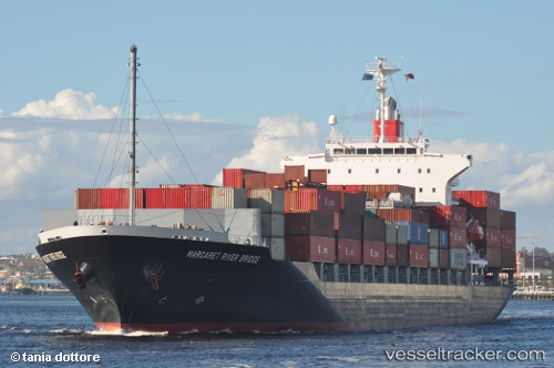
 SMOOTH WIND
Current Status
Where is the vessel?
SMOOTH WIND is currently in Near Yokosuka, based on AIS data received less than 1h ago.
Latest AIS update:
Current position: 35.32857° N, 139.73547° E (Near Yokosuka)
Average speed (last 7 days): Loading…
Average speed (last 30 days): Loading…
Vessel profile: SMOOTH WIND is a Container Ship with dimensions m x m.
This page combines live AIS, route history, probable destination signals, nearby traffic, and port activity for practical vessel monitoring.
The current position of vessel SMOOTH WIND is 35.32857 lat / 139.73547 lng. Updated: 2026-04-09 02:26:35 UTCNearest reference points:
- Near Yokosuka
- Near Naka-Ku, Kanagawa
- Near Yokohama
Currently sailing under the flag of Liberia ![]()
Details:
Live Vessel SMOOTH WIND Analytics (details, animations, etc.)
Recent AIS points (UTC):
2026-04-08 17:58:18 UTC · 34.37945, 138.26846 · SOG 13.7 kn · COG 85°2026-04-08 19:22:48 UTC · 34.42378, 138.63957 · SOG 13.3 kn · COG 81°
2026-04-08 23:45:05 UTC · 34.96235, 139.54964 · SOG 10 kn · COG 44°
2026-04-09 02:26:35 UTC · 35.32857, 139.73547 · SOG 13.4 kn · COG 18°