 vesseltracker.com
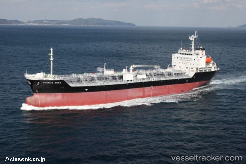
 HONG BO 18
Current Status
Where is the vessel?
HONG BO 18 is currently in 118 nm N of TANJUNG JATI, based on AIS data received about 1h ago.
Latest AIS update:
Current position: 4.47833° S, 110.64667° E (118 nm N of TANJUNG JATI)
Average speed (last 7 days): Loading…
Average speed (last 30 days): Loading…
Vessel profile: HONG BO 18 is a Tanker B with dimensions m x m.
This page combines live AIS, route history, probable destination signals, nearby traffic, and port activity for practical vessel monitoring.
The current position of vessel HONG BO 18 is -4.47833 lat / 110.64667 lng. Updated: 2026-04-17 09:44:21 UTCNearest reference points:
- 49 nm NE of TANJUNG JATI
- 68 nm NW of Gagak Rimang Fso
- 45 nm SW of Kendawangan
Currently sailing under the flag of Liberia ![]()
Details:
Live Vessel HONG BO 18 Analytics (details, animations, etc.)
Recent AIS points (UTC):
2026-04-17 03:20:21 UTC · -4.89667, 111.86667 · SOG 11 kn · COG -1°2026-04-17 05:53:27 UTC · -4.70667, 111.39500 · SOG 12 kn · COG -1°
2026-04-17 07:30:05 UTC · -4.61136, 111.08330 · SOG 12.2 kn · COG 287°
2026-04-17 09:44:21 UTC · -4.47833, 110.64667 · SOG 12 kn · COG -1°