 vesseltracker.com
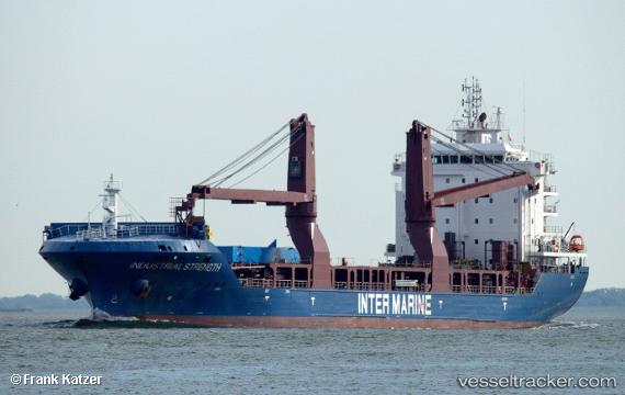
Vessel BRUCE IMO: 9741140, MMSI: 636093060 General Cargo Ship
UTC, 1.24277, 103.87416, course: 21, speed: 0
UTC, 1.24167, 103.87333, course: -1, speed: 0
2026-02-17 14:15:44 UTC, 1.24320, 103.87354, course: 47, speed: 0
Live AIS position:
UTC. Near Choa Chu Kang),
updated 2026-02-17 14:15:44 UTC.
Find the position of the vessel BRUCE on the map. The latter are known coordinates and path.
marine traffic ship tracker show on live map
The current position of vessel BRUCE is 1.24320 lat / 103.87354 lng. Updated: 2026-02-17 14:15:44 UTCCurrently sailing under the flag of Liberia
BRUCE built in 2016 year
Deadweight:
12370 tDetails:
Last coordinates of the vessel:
UTC, 1.24272, 103.87458, course: 3, speed: 0UTC, 1.24277, 103.87416, course: 21, speed: 0
UTC, 1.24167, 103.87333, course: -1, speed: 0
2026-02-17 14:15:44 UTC, 1.24320, 103.87354, course: 47, speed: 0