 vesseltracker.com
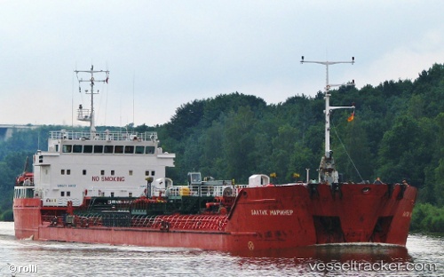
Find the position of the vessel ALI NAJAFOV on the map. The latter are known coordinates and path.
marine traffic ship tracker show on live map
The current position of vessel ALI NAJAFOV is 38.0324 lat / 23.5096 lng. Updated: 2025-07-25 23:33:06 UTCCurrently sailing under the flag of Liberia
ALI NAJAFOV built in 2001 year
Deadweight:
6620 tDetails:
Last coordinates of the vessel:
UTC, 38.0324, 23.5096, course: 358, speed: 0UTC, 38.0324, 23.5096, course: 358, speed: 0
UTC, 38.0324, 23.5096, course: 358, speed: 0
2025-07-25 23:33:06 UTC, 38.0324, 23.5096, course: 358, speed: 0
Track of the vessel in the last 14 days
The ship also appears on the maps: