 vesseltracker.com
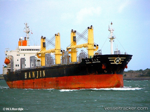
Vessel Mustafa Bey IMO: 9110339, MMSI: 667001213 Bulk Carrier
UTC, 40.81694, 14.25568, course: 48, speed: 0.1
UTC, 40.81500, 14.25500, course: -1, speed: 0
2026-01-19 23:54:52 UTC, 40.81667, 14.25500, course: -1, speed: 0
Live AIS position:
UTC. Near MERGELLINA),
updated 2026-01-19 23:54:52 UTC.
Find the position of the vessel Mustafa Bey on the map. The latter are known coordinates and path.
marine traffic ship tracker show on live map
The current position of vessel Mustafa Bey is 40.81667 lat / 14.25500 lng. Updated: 2026-01-19 23:54:52 UTCDetails:
Last coordinates of the vessel:
UTC, 40.81690, 14.25582, course: 42, speed: 0UTC, 40.81694, 14.25568, course: 48, speed: 0.1
UTC, 40.81500, 14.25500, course: -1, speed: 0
2026-01-19 23:54:52 UTC, 40.81667, 14.25500, course: -1, speed: 0