 vesseltracker.com
 ANGARA
Current Status
Where is the vessel?
ANGARA is currently in 30 nm NW of ITOIGAWA, based on AIS data received about 8h ago.
Latest AIS update:
Current position: 37.43076° N, 137.44376° E (30 nm NW of ITOIGAWA)
Average speed (last 7 days): Loading…
Average speed (last 30 days): Loading…
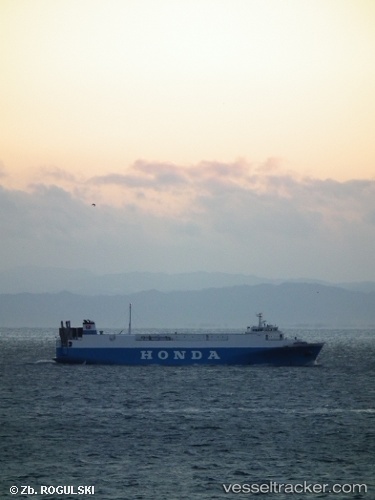
Vessel profile: ANGARA is a Vehicles Carrier with dimensions 17m x 115m.
This page combines live AIS, route history, probable destination signals, nearby traffic, and port activity for practical vessel monitoring.
The current position of vessel ANGARA is 37.43076 lat / 137.44376 lng. Updated: 2026-04-16 10:32:55 UTCNearest reference points:
- Near Toyama
- 63 nm NW of Sado Shima Apt
- Near Nagoya
Currently sailing under the flag of Sierra leone ![]()
ANGARA built in 1995 year
Deadweight:
2682 tDetails:
Live Vessel ANGARA Analytics (details, animations, etc.)
Recent AIS points (UTC):
2026-04-16 06:02:50 UTC · 36.80167, 137.06500 · SOG 0 kn · COG -1°2026-04-16 10:32:55 UTC · 37.43076, 137.44376 · SOG 13.1 kn · COG 16°
2026-04-16 10:32:55 UTC · 37.43076, 137.44376 · SOG 13.1 kn · COG 16°
2026-04-16 10:32:55 UTC · 37.43076, 137.44376 · SOG 13.1 kn · COG 16°