 vesseltracker.com
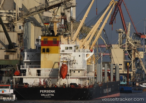
 GOLDEN MALAK
Current Status
Where is the vessel?
GOLDEN MALAK is currently in 13 nm SW of Kumburgaz, based on AIS data received less than 1h ago.
Latest AIS update:
Current position: 40.85344° N, 28.29935° E (13 nm SW of Kumburgaz)
Average speed (last 7 days): Loading…
Average speed (last 30 days): Loading…
Vessel profile: GOLDEN MALAK is a Bulk Carrier with dimensions m x m.
This page combines live AIS, route history, probable destination signals, nearby traffic, and port activity for practical vessel monitoring.
The current position of vessel GOLDEN MALAK is 40.85344 lat / 28.29935 lng. Updated: 2026-04-15 20:18:54 UTCNearest reference points:
- Near Gürpinar
- Near Ambarli
- Near Küçükçekmece
Currently sailing under the flag of Sierra Leone ![]()
Details:
Live Vessel GOLDEN MALAK Analytics (details, animations, etc.)
Recent AIS points (UTC):
2026-04-15 14:08:25 UTC · 40.93758, 28.85416 · SOG 0 kn · COG 59°2026-04-15 15:59:23 UTC · 40.93750, 28.85423 · SOG 0 kn · COG 54°
2026-04-15 17:35:22 UTC · 40.93820, 28.85481 · SOG 0.4 kn · COG 69°
2026-04-15 20:18:54 UTC · 40.85344, 28.29935 · SOG 11.8 kn · COG 261°