 vesseltracker.com
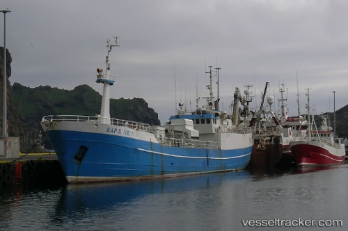
Kap Ii
Current StatusWhere is the vessel?
Kap Ii is currently in 20 nm W of VESTMANNAEYJAR, based on AIS data received about 5h ago.
Latest AIS update:
Current position: 63.40672° N, 21.00109° W (20 nm W of VESTMANNAEYJAR)
Average speed (last 7 days): Loading…
Average speed (last 30 days): Loading…
Vessel profile: Kap Ii is a Fish Carrier with dimensions 8m x 50m.
This page combines live AIS, route history, probable destination signals, nearby traffic, and port activity for practical vessel monitoring.
The current position of vessel Kap Ii is 63.40672 lat / -21.00109 lng. Updated: 2026-04-05 10:56:48 UTCNearest reference points:
- Near HERJOLFUR
- Near Reykjavik
- Near HAFNARFJORDUR
Details:
Live Vessel Kap Ii Analytics (details, animations, etc.)
Recent AIS points (UTC):
2026-04-05 09:12:56 UTC · 63.40769, -20.97927 · SOG 8.7 kn · COG 280°2026-04-05 10:34:46 UTC · 63.40589, -21.00559 · SOG 1.1 kn · COG 14°
2026-04-05 10:34:46 UTC · 63.40589, -21.00559 · SOG 1.1 kn · COG 14°
2026-04-05 10:56:48 UTC · 63.40672, -21.00109 · SOG 0.4 kn · COG 32°