 vesseltracker.com
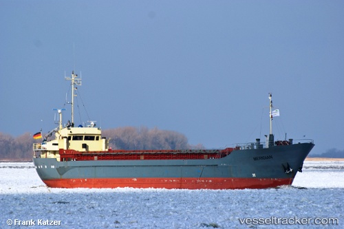
 KOOLE K
Current Status
Where is the vessel?
KOOLE K is currently in Near Claxton Bay, based on AIS data received less than 1h ago.
Latest AIS update:
Current position: 10.34983° N, 61.46312° W (Near Claxton Bay)
Average speed (last 7 days): Loading…
Average speed (last 30 days): Loading…
Vessel profile: KOOLE K is a General Cargo with dimensions m x m.
This page combines live AIS, route history, probable destination signals, nearby traffic, and port activity for practical vessel monitoring.
The current position of vessel KOOLE K is 10.34983 lat / -61.46312 lng. Updated: 2026-04-02 07:28:08 UTCNearest reference points:
- Near POINT LISAS
- Near Caroni
- Near Carenage
Currently sailing under the flag of Saint Vincent and the Grenadines ![]()
Details:
Live Vessel KOOLE K Analytics (details, animations, etc.)
Recent AIS points (UTC):
2026-04-02 01:54:01 UTC · 10.34979, -61.46313 · SOG 0 kn · COG 351°2026-04-02 03:39:25 UTC · 10.34983, -61.46314 · SOG 0 kn · COG 351°
2026-04-02 06:06:56 UTC · 10.34982, -61.46311 · SOG 0 kn · COG 349°
2026-04-02 07:28:08 UTC · 10.34983, -61.46312 · SOG 0.1 kn · COG 349°