 vesseltracker.com
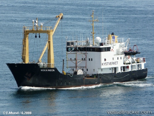
 VIKINGFJORD
Current Status
Where is the vessel?
VIKINGFJORD is currently in Near Bergen, based on AIS data received about 1h ago.
Latest AIS update:
Current position: 60.39708° N, 5.31631° E (Near Bergen)
Average speed (last 7 days): Loading…
Average speed (last 30 days): Loading…
Vessel profile: VIKINGFJORD is a Buoy-laying Vessel with dimensions m x m.
This page combines live AIS, route history, probable destination signals, nearby traffic, and port activity for practical vessel monitoring.
The current position of vessel VIKINGFJORD is 60.39708 lat / 5.31631 lng. Updated: 2026-03-29 01:20:21 UTCNearest reference points:
- Near Bergen
- Near Damsgård
- Near Skålevik
Currently sailing under the flag of Dominica ![]()
Details:
Live Vessel VIKINGFJORD Analytics (details, animations, etc.)
Recent AIS points (UTC):
2026-03-28 19:35:21 UTC · 60.39708, 5.31629 · SOG 0 kn · COG 190°2026-03-28 21:35:18 UTC · 60.39698, 5.31632 · SOG 0 kn · COG 190°
2026-03-29 00:14:18 UTC · 60.39697, 5.31629 · SOG 0 kn · COG 190°
2026-03-29 01:20:21 UTC · 60.39708, 5.31631 · SOG 0 kn · COG 189°