 vesseltracker.com
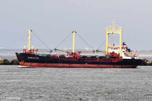
 ARWA
ARWA
Current Status
Where is the vessel?
ARWA is currently in 25 nm SW of Bandare Parsian, based on AIS data received about 2h ago.
Latest AIS update:
Current position: 26.79740° N, 52.70299° E (25 nm SW of Bandare Parsian)
Average speed (last 7 days): Loading…
Average speed (last 30 days): Loading…
Vessel profile: ARWA is a General Cargo with dimensions m x m.
This page combines live AIS, route history, probable destination signals, nearby traffic, and port activity for practical vessel monitoring.
The current position of vessel ARWA is 26.79740 lat / 52.70299 lng. Updated: 2026-04-12 07:33:19 UTCNearest reference points:
- Near Jazireh-Ye Lavan
- Near ASALUYEH
- 21 nm NE of Halul Island
Currently sailing under the flag of Honduras ![]()
Details:
Live Vessel ARWA Analytics (details, animations, etc.)
Recent AIS points (UTC):
2026-04-08 21:02:09 UTC · 29.03719, 48.22169 · SOG 0 kn · COG -1°2026-04-08 21:02:09 UTC · 29.03719, 48.22169 · SOG 0 kn · COG -1°
2026-04-12 07:10:58 UTC · 26.81522, 52.66590 · SOG 0 kn · COG 115°
2026-04-12 07:33:19 UTC · 26.79740, 52.70299 · SOG 8.6 kn · COG -1°