 vesseltracker.com
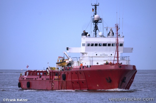
Sea Meadow 02
Current StatusWhere is the vessel?
Sea Meadow 02 is currently in 90 nm E of Charlotteville, based on AIS data received less than 1h ago.
Latest AIS update:
Current position: 10.91333° N, 59.07667° W (90 nm E of Charlotteville)
Average speed (last 7 days): Loading…
Average speed (last 30 days): Loading…
Vessel profile: Sea Meadow 02 is a Offshore Tug Supply Ship with dimensions 18m x 68m.
This page combines live AIS, route history, probable destination signals, nearby traffic, and port activity for practical vessel monitoring.
The current position of vessel Sea Meadow 02 is 10.91333 lat / -59.07667 lng. Updated: 2026-04-12 20:09:45 UTCNearest reference points:
- 16 nm E of Galeota Point
- Near Saint Michael
- Near POINT LISAS
Details:
Live Vessel Sea Meadow 02 Analytics (details, animations, etc.)
Recent AIS points (UTC):
2026-04-12 14:19:23 UTC · 10.89933, -59.79604 · SOG 7.8 kn · COG 107°2026-04-12 15:50:04 UTC · 10.89996, -59.60328 · SOG 7.6 kn · COG 107°
2026-04-12 18:18:47 UTC · 10.90500, -59.31167 · SOG 6 kn · COG -1°
2026-04-12 20:09:45 UTC · 10.91333, -59.07667 · SOG 7 kn · COG -1°