 vesseltracker.com
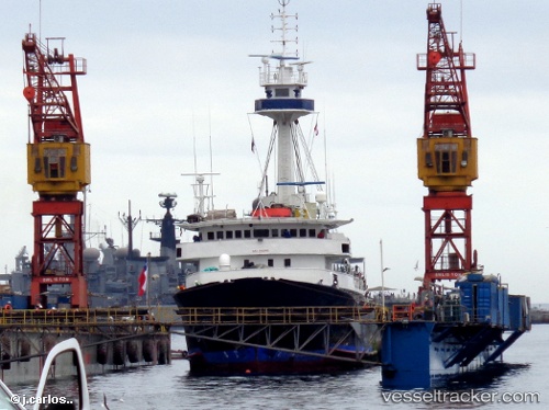
Tx0pituna Dos
Current StatusWhere is the vessel?
Tx0pituna Dos is currently in Near MANTA, based on AIS data received less than 1h ago.
Latest AIS update:
Current position: 0.93076° S, 80.72091° W (Near MANTA)
Average speed (last 7 days): Loading…
Average speed (last 30 days): Loading…
Vessel profile: Tx0pituna Dos is a Fishing Vessel with dimensions 14m x 70m.
This page combines live AIS, route history, probable destination signals, nearby traffic, and port activity for practical vessel monitoring.
The current position of vessel Tx0pituna Dos is -0.93076 lat / -80.72091 lng. Updated: 2026-04-05 16:18:19 UTCNearest reference points:
- Near MANTA
- 22 nm W of Bahía de Caráquez
- Near La Libertad
Details:
Live Vessel Tx0pituna Dos Analytics (details, animations, etc.)
Recent AIS points (UTC):
2026-04-05 10:24:14 UTC · -0.93077, -80.72093 · SOG 0.1 kn · COG 259°2026-04-05 11:51:13 UTC · -0.93077, -80.72095 · SOG 0.1 kn · COG 262°
2026-04-05 13:57:18 UTC · -0.93076, -80.72093 · SOG 0.1 kn · COG 260°
2026-04-05 16:18:19 UTC · -0.93076, -80.72091 · SOG 0.1 kn · COG 261°