 vesseltracker.com
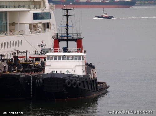
Island Tugger
Current StatusWhere is the vessel?
Island Tugger is currently in Near PORT ALBERNI, based on AIS data received about 5d ago.
Latest AIS update:
Current position: 49.22417° N, 124.81438° W (Near PORT ALBERNI)
Average speed (last 7 days): Loading…
Average speed (last 30 days): Loading…
Vessel profile: Island Tugger is a Tug with dimensions 10m x 32m.
This page combines live AIS, route history, probable destination signals, nearby traffic, and port activity for practical vessel monitoring.
The current position of vessel Island Tugger is 49.22417 lat / -124.81438 lng. Updated: 2026-03-24 21:01:01 UTCNearest reference points:
- 21 nm NW of Tatoosh Island
- Near Powell River
- Near Nanaimo
Details:
Live Vessel Island Tugger Analytics (details, animations, etc.)
Recent AIS points (UTC):
2026-03-24 15:55:05 UTC · 49.22423, -124.81417 · SOG 0 kn · COG 93°2026-03-24 17:27:09 UTC · 49.17375, -124.81386 · SOG 12.4 kn · COG 172°
2026-03-24 19:56:06 UTC · 49.22333, -124.81333 · SOG 0 kn · COG -1°
2026-03-24 21:01:01 UTC · 49.22417, -124.81438 · SOG 0 kn · COG 339°
2026-03-24 21:01:01 UTC · 49.22417, -124.81438 · SOG 0 kn · COG 339°
2026-03-24 21:01:01 UTC · 49.22417, -124.81438 · SOG 0 kn · COG 339°