 vesseltracker.com
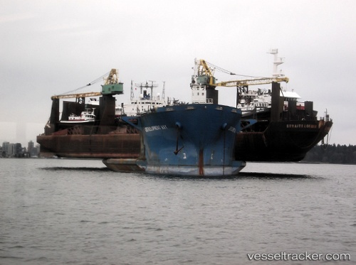
 Development Way
Current Status
Where is the vessel?
Development Way is currently in 19 nm NE of Gombong, based on AIS data received about 1h ago.
Latest AIS update:
Current position: 7.48152° N, 108.25032° E (19 nm NE of Gombong)
Average speed (last 7 days): Loading…
Average speed (last 30 days): Loading…
Vessel profile: Development Way is a Heavy Load Carrier with dimensions 215m x 215m.
This page combines live AIS, route history, probable destination signals, nearby traffic, and port activity for practical vessel monitoring.
The current position of vessel Development Way is 7.48152 lat / 108.25032 lng. Updated: 2026-04-02 19:33:29 UTCNearest reference points:
- 11 nm N of Gombong
- 30 nm SW of Dai Hung (Tandem Load)
- 41 nm NW of Brebes
Currently sailing under the flag of Panama ![]()
Development Way built in 1983 year
Deadweight:
31287 tDetails:
Live Vessel Development Way Analytics (details, animations, etc.)
Recent AIS points (UTC):
2026-04-02 13:34:43 UTC · 8.27765, 108.82337 · SOG 10.1 kn · COG -1°2026-04-02 15:09:19 UTC · 8.07393, 108.65555 · SOG 10 kn · COG 212°
2026-04-02 17:22:18 UTC · 7.77955, 108.44415 · SOG 9.9 kn · COG 211°
2026-04-02 19:33:29 UTC · 7.48152, 108.25032 · SOG 10 kn · COG -1°