 vesseltracker.com
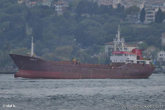
Find the position of the vessel Banu S on the map. The latter are known coordinates and path.
marine traffic ship tracker show on live map
The current position of vessel Banu S is 40.9166 lat / 27.9703 lng. Updated: 2024-05-07 18:16:14 UTCCurrently sailing under the flag of Turkey
Details:
Last coordinates of the vessel:
UTC, 40.9192, 28.5467, course: 272, speed: 7.3UTC, 40.9217, 28.3165, course: 264, speed: 8.6
UTC, 40.9202, 28.2362, course: 272, speed: 8.6
2024-05-07 18:16:14 UTC, 40.9166, 27.9703, course: 271, speed: 8.2