 vesseltracker.com
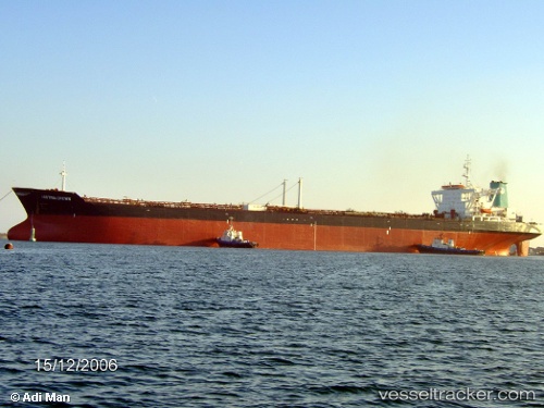
Armada Perdana
Current StatusWhere is the vessel?
Armada Perdana is currently in Near Oyo, based on AIS data received about 2h ago.
Latest AIS update:
Current position: 5.38792° N, 4.59144° E (Near Oyo)
Average speed (last 7 days): Loading…
Average speed (last 30 days): Loading…
Vessel profile: Armada Perdana is a Offshore Support Vessel with dimensions 46m x 290m.
This page combines live AIS, route history, probable destination signals, nearby traffic, and port activity for practical vessel monitoring.
The current position of vessel Armada Perdana is 5.38792 lat / 4.59144 lng. Updated: 2026-03-27 14:14:19 UTCNearest reference points:
- Near Escravos
- Near WARRI
- Near Apapa
Details:
Live Vessel Armada Perdana Analytics (details, animations, etc.)
Recent AIS points (UTC):
2026-03-27 07:56:49 UTC · 5.38790, 4.59142 · SOG 0 kn · COG -1°2026-03-27 10:06:49 UTC · 5.38784, 4.59138 · SOG 0.1 kn · COG -1°
2026-03-27 12:05:19 UTC · 5.38788, 4.59144 · SOG 0.1 kn · COG -1°
2026-03-27 14:14:19 UTC · 5.38792, 4.59144 · SOG 0.1 kn · COG -1°