 vesseltracker.com
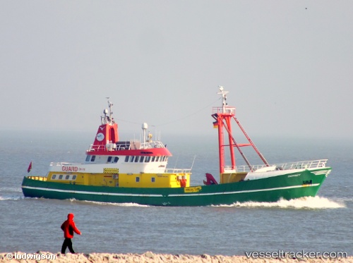
 OSPREY
Current Status
Where is the vessel?
OSPREY is currently in 25 nm SW of Haspe, based on AIS data received less than 1h ago.
Latest AIS update:
Current position: 54.12414° N, 6.81793° E (25 nm SW of Haspe)
Average speed (last 7 days): Loading…
Average speed (last 30 days): Loading…
Vessel profile: OSPREY is a Utility Vessel with dimensions m x m.
This page combines live AIS, route history, probable destination signals, nearby traffic, and port activity for practical vessel monitoring.
The current position of vessel OSPREY is 54.12414 lat / 6.81793 lng. Updated: 2026-04-01 15:26:53 UTCNearest reference points:
- Near NORDERNEY
- Near Borkum
- Near NORDDEICH
Currently sailing under the flag of Bahamas ![]()
Details:
Live Vessel OSPREY Analytics (details, animations, etc.)
Recent AIS points (UTC):
2026-04-01 09:18:13 UTC · 54.10934, 6.81107 · SOG 1.6 kn · COG 306°2026-04-01 11:53:52 UTC · 54.12310, 6.82166 · SOG 5.4 kn · COG 251°
2026-04-01 13:54:13 UTC · 54.12679, 6.79619 · SOG 0.8 kn · COG 264°
2026-04-01 15:26:53 UTC · 54.12414, 6.81793 · SOG 4.3 kn · COG 107°