 vesseltracker.com
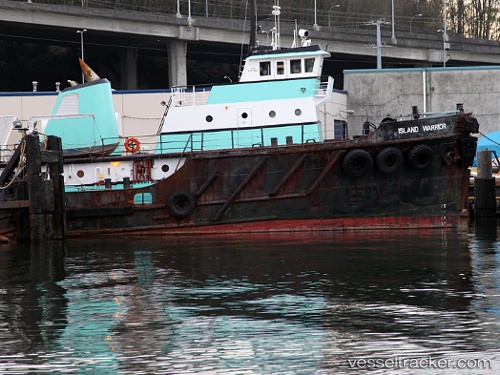
 Tamaraw
Current Status
Where is the vessel?
Tamaraw is currently in 274 nm NE of Guiuan, based on AIS data received about 2h ago.
Latest AIS update:
Current position: 13.45235° N, 129.67529° E (274 nm NE of Guiuan)
Average speed (last 7 days): Loading…
Average speed (last 30 days): Loading…
Vessel profile: Tamaraw is a [tug.offshore_tug_supply] with dimensions 43m x 44m.
This page combines live AIS, route history, probable destination signals, nearby traffic, and port activity for practical vessel monitoring.
The current position of vessel Tamaraw is 13.45235 lat / 129.67529 lng. Updated: 2026-04-13 11:35:49 UTCNearest reference points:
- 281 nm E of Gigmoto, Catanduanes
- Open sea, approx. 401 nm off the nearest listed port
- Open sea, approx. 402 nm off the nearest listed port
Currently sailing under the flag of USA ![]()
Tamaraw built in 1945 year
Deadweight:
800 tDetails:
Live Vessel Tamaraw Analytics (details, animations, etc.)
Recent AIS points (UTC):
2026-04-13 06:13:00 UTC · 13.51167, 130.49667 · SOG 9 kn · COG -1°2026-04-13 07:27:59 UTC · 13.50333, 130.30499 · SOG 9 kn · COG -1°
2026-04-13 09:34:03 UTC · 13.48333, 129.97833 · SOG 8 kn · COG -1°
2026-04-13 11:35:49 UTC · 13.45235, 129.67529 · SOG 8.9 kn · COG -1°