 vesseltracker.com
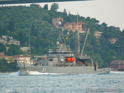
 Grasp
Grasp
Current Status
Where is the vessel?
Grasp is currently in Near Bremerton, based on AIS data received about 2h ago.
Latest AIS update:
Current position: 47.55546° N, 122.64763° W (Near Bremerton)
Average speed (last 7 days): Loading…
Average speed (last 30 days): Loading…
Vessel profile: Grasp is a Dredger with dimensions 78m x 15m.
This page combines live AIS, route history, probable destination signals, nearby traffic, and port activity for practical vessel monitoring.
The current position of vessel Grasp is 47.55546 lat / -122.64763 lng. Updated: 2026-03-26 15:24:13 UTCNearest reference points:
- Near Bremerton
- Near Port Madison
- Near BAINBRIDGE ISLAND
Currently sailing under the flag of USA ![]()
Grasp built in 1985 year
Deadweight:
681 tDetails:
Live Vessel Grasp Analytics (details, animations, etc.)
Recent AIS points (UTC):
2026-03-26 10:15:13 UTC · 47.55540, -122.64759 · SOG 0 kn · COG 2°2026-03-26 11:45:15 UTC · 47.55546, -122.64761 · SOG 0 kn · COG 2°
2026-03-26 13:33:43 UTC · 47.55500, -122.64833 · SOG 0 kn · COG -1°
2026-03-26 15:24:13 UTC · 47.55546, -122.64763 · SOG 0 kn · COG 2°