 vesseltracker.com
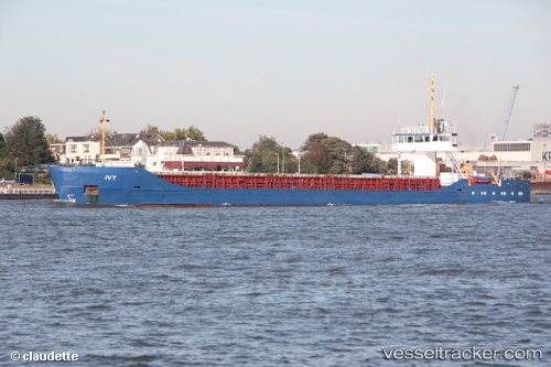
Find the position of the vessel Ivy 1 on the map. The latter are known coordinates and path.
marine traffic ship tracker show on live map
The current position of vessel Ivy 1 is 38.2546 lat / 21.7359 lng. Updated: 2024-04-29 22:49:54 UTCCurrently sailing under the flag of Panama
Ivy 1 built in 1985 year
Port of registry:
Panama City (capital of Panama)Deadweight:
3030 tGross tonnage:
2061Service entry:
1985-01-01T00:00:00ZManufacturer:
Pella Sietas
Details:
Last coordinates of the vessel:
UTC, 38.2546, 21.7359, course: -1, speed: 0UTC, 38.2546, 21.7359, course: -1, speed: 0.1
UTC, 38.2546, 21.7359, course: -1, speed: 0
2024-04-29 22:49:54 UTC, 38.2546, 21.7359, course: -1, speed: 0.1