 vesseltracker.com
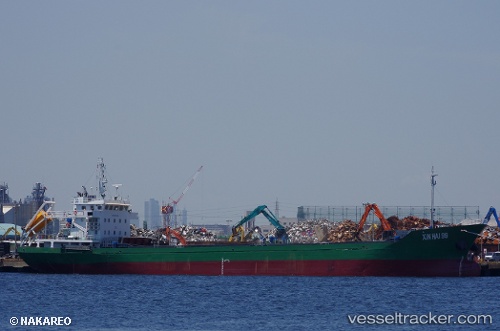
 HOANG TRIEU 99
Current Status
Where is the vessel?
HOANG TRIEU 99 is currently in Near Dumai, based on AIS data received about 8h ago.
Latest AIS update:
Current position: 1.68966° N, 101.44415° E (Near Dumai)
Average speed (last 7 days): Loading…
Average speed (last 30 days): Loading…
Vessel profile: HOANG TRIEU 99 is a Cargo with dimensions m x m.
This page combines live AIS, route history, probable destination signals, nearby traffic, and port activity for practical vessel monitoring.
The current position of vessel HOANG TRIEU 99 is 1.68966 lat / 101.44415 lng. Updated: 2026-04-10 07:59:12 UTCNearest reference points:
- Near Dumai
- 14 nm W of SUNGAI UDANG
- 13 nm SW of PORT DICKSON
Currently sailing under the flag of Sao Tome and Principe ![]()
Details:
Live Vessel HOANG TRIEU 99 Analytics (details, animations, etc.)
Recent AIS points (UTC):
2026-04-10 00:58:14 UTC · 1.68964, 101.44412 · SOG 0 kn · COG 285°2026-04-10 04:12:52 UTC · 1.68964, 101.44414 · SOG 0 kn · COG 284°
2026-04-10 05:56:14 UTC · 1.68966, 101.44412 · SOG 0 kn · COG 284°
2026-04-10 07:59:12 UTC · 1.68966, 101.44415 · SOG 0 kn · COG 284°