 vesseltracker.com
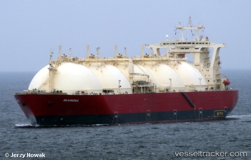
 EKAPUTRA 1
Current Status
Where is the vessel?
EKAPUTRA 1 is currently in 107 nm W of PALOPO, based on AIS data received about 1h ago.
Latest AIS update:
Current position: 2.45214° S, 118.51940° E (107 nm W of PALOPO)
Average speed (last 7 days): Loading…
Average speed (last 30 days): Loading…
Vessel profile: EKAPUTRA 1 is a Lng Tanker with dimensions 290m x 46m.
This page combines live AIS, route history, probable destination signals, nearby traffic, and port activity for practical vessel monitoring.
The current position of vessel EKAPUTRA 1 is -2.45214 lat / 118.51940 lng. Updated: 2026-04-16 21:24:10 UTCNearest reference points:
- 18 nm E of Senipah Oil Terminal
- 57 nm NE of TANJUNG PEMANCINGAN
- Near Senipah Oil Terminal
Currently sailing under the flag of Indonesia ![]()
EKAPUTRA 1 built in 1990 year
Deadweight:
78988 tDetails:
Live Vessel EKAPUTRA 1 Analytics (details, animations, etc.)
Recent AIS points (UTC):
2026-04-16 15:53:58 UTC · -3.30754, 118.45087 · SOG 10.8 kn · COG -1°2026-04-16 17:23:39 UTC · -3.09356, 118.53868 · SOG 9 kn · COG 350°
2026-04-16 19:43:00 UTC · -2.73316, 118.55320 · SOG 10.1 kn · COG 2°
2026-04-16 21:24:10 UTC · -2.45214, 118.51940 · SOG 10.4 kn · COG 345°