 vesseltracker.com
 TANIR
TANIR
Current Status
Where is the vessel?
TANIR is currently in 11 nm NE of BOLSHOY KAMEN, based on AIS data received about 8h ago.
Latest AIS update:
Current position: 43.25948° N, 132.49039° E (11 nm NE of BOLSHOY KAMEN)
Average speed (last 7 days): Loading…
Average speed (last 30 days): Loading…
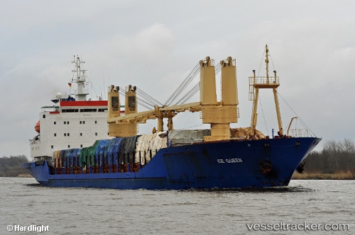
Vessel profile: TANIR is a General Cargo Ship with dimensions 20m x 133m.
This page combines live AIS, route history, probable destination signals, nearby traffic, and port activity for practical vessel monitoring.
The current position of vessel TANIR is 43.25948 lat / 132.49039 lng. Updated: 2026-03-29 14:12:34 UTCNearest reference points:
- Near BOLSHOY KAMEN
- Near Artem
- Near PODYAPOLSKIY
Currently sailing under the flag of Russia ![]()
TANIR built in 1970 year
Deadweight:
7346 tDetails:
Live Vessel TANIR Analytics (details, animations, etc.)
Recent AIS points (UTC):
2026-03-29 12:40:15 UTC · 43.24014, 132.50015 · SOG 52.2 kn · COG 157°2026-03-29 14:12:34 UTC · 43.25948, 132.49039 · SOG 7.7 kn · COG 183°
2026-03-29 14:12:34 UTC · 43.25948, 132.49039 · SOG 7.7 kn · COG 183°
2026-03-29 14:12:34 UTC · 43.25948, 132.49039 · SOG 7.7 kn · COG 183°