 vesseltracker.com
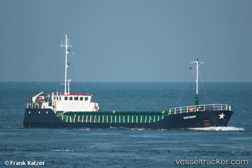
 RIVER TRADER
Current Status
Where is the vessel?
RIVER TRADER is currently in Near SAINT SAMPSON, based on AIS data received about 1h ago.
Latest AIS update:
Current position: 49.48237° N, 2.51230° W (Near SAINT SAMPSON)
Average speed (last 7 days): Loading…
Average speed (last 30 days): Loading…
Vessel profile: RIVER TRADER is a General Cargo with dimensions m x m.
This page combines live AIS, route history, probable destination signals, nearby traffic, and port activity for practical vessel monitoring.
The current position of vessel RIVER TRADER is 49.48237 lat / -2.51230 lng. Updated: 2026-03-28 10:17:43 UTCNearest reference points:
- Near SAINT SAMPSON
- Near GUERNSEY
- Near Saint Sampson
Currently sailing under the flag of Antigua and Barbuda ![]()
Details:
Live Vessel RIVER TRADER Analytics (details, animations, etc.)
Recent AIS points (UTC):
2026-03-28 03:32:56 UTC · 49.48233, -2.51232 · SOG 0 kn · COG 350°2026-03-28 06:19:58 UTC · 49.48235, -2.51230 · SOG 0 kn · COG 350°
2026-03-28 08:19:45 UTC · 49.48230, -2.51232 · SOG 0 kn · COG 350°
2026-03-28 10:17:43 UTC · 49.48237, -2.51230 · SOG 0 kn · COG 350°