 vesseltracker.com
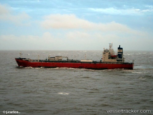
 NIDI
NIDI
Current Status
Where is the vessel?
NIDI is currently in 12 nm SE of Abu Musa, based on AIS data received about 1d ago.
Latest AIS update:
Current position: 25.68449° N, 55.11729° E (12 nm SE of Abu Musa)
Average speed (last 7 days): Loading…
Average speed (last 30 days): Loading…
Vessel profile: NIDI is a Lpg Tanker with dimensions m x m.
This page combines live AIS, route history, probable destination signals, nearby traffic, and port activity for practical vessel monitoring.
The current position of vessel NIDI is 25.68449 lat / 55.11729 lng. Updated: 2026-04-04 01:08:15 UTCNearest reference points:
- 17 nm NW of Free Port
- Near Sharjah
- Near AJMAN
Currently sailing under the flag of Botswana ![]()
Details:
Live Vessel NIDI Analytics (details, animations, etc.)
Recent AIS points (UTC):
2026-04-03 20:07:51 UTC · 25.68454, 55.11735 · SOG 0.1 kn · COG 296°2026-04-03 22:49:55 UTC · 25.68455, 55.11726 · SOG 0.1 kn · COG 296°
2026-04-04 01:08:15 UTC · 25.68449, 55.11729 · SOG 0.1 kn · COG 296°
2026-04-04 01:08:15 UTC · 25.68449, 55.11729 · SOG 0.1 kn · COG 296°