 vesseltracker.com
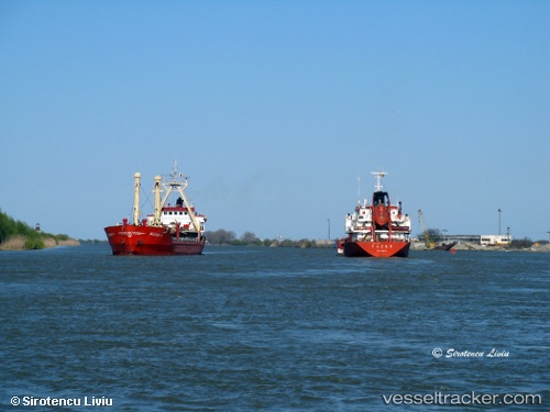
 NIKSAR
Current Status
Where is the vessel?
NIKSAR is currently in Near Varna, based on AIS data received about 2h ago.
Latest AIS update:
Current position: 43.20664° N, 27.96512° E (Near Varna)
Average speed (last 7 days): Loading…
Average speed (last 30 days): Loading…
Vessel profile: NIKSAR is a Chemical Tanker with dimensions m x m.
This page combines live AIS, route history, probable destination signals, nearby traffic, and port activity for practical vessel monitoring.
The current position of vessel NIKSAR is 43.20664 lat / 27.96512 lng. Updated: 2026-03-28 13:27:11 UTCNearest reference points:
- Near Varna
- Near Ignatievo
- Near Beloslav
Currently sailing under the flag of Liberia ![]()
Details:
Live Vessel NIKSAR Analytics (details, animations, etc.)
Recent AIS points (UTC):
2026-03-28 07:22:11 UTC · 43.20708, 27.96526 · SOG 0 kn · COG 112°2026-03-28 10:25:10 UTC · 43.20671, 27.96514 · SOG 0 kn · COG 87°
2026-03-28 11:49:10 UTC · 43.20670, 27.96514 · SOG 0 kn · COG 84°
2026-03-28 13:27:11 UTC · 43.20664, 27.96512 · SOG 0 kn · COG 83°