 vesseltracker.com
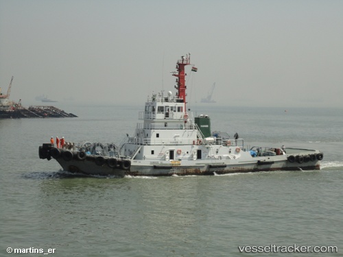
Rs 34
Current StatusWhere is the vessel?
Rs 34 is currently in Near Map Ta Phut, based on AIS data received less than 1h ago.
Latest AIS update:
Current position: 12.65257° N, 101.15157° E (Near Map Ta Phut)
Average speed (last 7 days): Loading…
Average speed (last 30 days): Loading…
Vessel profile: Rs 34 is a [tug.offshore_tug_supply] with dimensions 10m x 42m.
This page combines live AIS, route history, probable destination signals, nearby traffic, and port activity for practical vessel monitoring.
The current position of vessel Rs 34 is 12.65257 lat / 101.15157 lng. Updated: 2026-04-09 12:18:28 UTCNearest reference points:
- 11 nm S of Map Ta Phut
- Near SATTAHIP
- Near Tips Container Terminal
Details:
Live Vessel Rs 34 Analytics (details, animations, etc.)
Recent AIS points (UTC):
2026-04-09 05:51:54 UTC · 12.65368, 101.15034 · SOG 0.7 kn · COG 329°2026-04-09 07:50:58 UTC · 12.65337, 101.15286 · SOG 0.6 kn · COG 307°
2026-04-09 09:26:30 UTC · 12.65296, 101.15242 · SOG 0.6 kn · COG 70°
2026-04-09 12:18:28 UTC · 12.65257, 101.15157 · SOG 0.3 kn · COG 237°