 vesseltracker.com
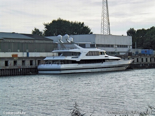
 GAUDEAMUS II
Current Status
Where is the vessel?
GAUDEAMUS II is currently in Near IMPERIA, based on AIS data received less than 1h ago.
Latest AIS update:
Current position: 43.87915° N, 8.02065° E (Near IMPERIA)
Average speed (last 7 days): Loading…
Average speed (last 30 days): Loading…
Vessel profile: GAUDEAMUS II is a Yacht with dimensions m x m.
This page combines live AIS, route history, probable destination signals, nearby traffic, and port activity for practical vessel monitoring.
The current position of vessel GAUDEAMUS II is 43.87915 lat / 8.02065 lng. Updated: 2026-03-29 07:50:01 UTCNearest reference points:
- Near IMPERIA
- Near Diano Marina
- Near Riva Ligure
Currently sailing under the flag of Marshall Islands ![]()
Details:
Live Vessel GAUDEAMUS II Analytics (details, animations, etc.)
Recent AIS points (UTC):
2026-03-29 01:16:58 UTC · 43.87916, 8.02065 · SOG 0 kn · COG 156°2026-03-29 04:16:57 UTC · 43.87915, 8.02065 · SOG 0 kn · COG 156°
2026-03-29 06:10:59 UTC · 43.87914, 8.02067 · SOG 0 kn · COG 156°
2026-03-29 07:50:01 UTC · 43.87915, 8.02065 · SOG 0 kn · COG 155°