 vesseltracker.com
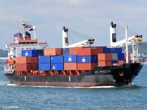
Armada Serasi
Current StatusWhere is the vessel?
Armada Serasi is currently in Near Madura Terminal, based on AIS data received about 1h ago.
Latest AIS update:
Current position: 6.75470° S, 112.90516° E (Near Madura Terminal)
Average speed (last 7 days): Loading…
Average speed (last 30 days): Loading…
Vessel profile: Armada Serasi is a Container Ship with dimensions 18m x 121m.
This page combines live AIS, route history, probable destination signals, nearby traffic, and port activity for practical vessel monitoring.
The current position of vessel Armada Serasi is -6.75470 lat / 112.90516 lng. Updated: 2026-03-30 00:00:34 UTCNearest reference points:
- 11 nm W of Madura Terminal
- 10 nm W of Poleng
- Near Bangkalan
Details:
Live Vessel Armada Serasi Analytics (details, animations, etc.)
Recent AIS points (UTC):
2026-03-28 09:05:41 UTC · -6.48066, 113.65379 · SOG 9.9 kn · COG -1°2026-03-28 09:05:41 UTC · -6.48066, 113.65379 · SOG 9.9 kn · COG -1°
2026-03-29 20:47:45 UTC · -6.76578, 113.03973 · SOG 3 kn · COG -1°
2026-03-30 00:00:34 UTC · -6.75470, 112.90516 · SOG 3.1 kn · COG -1°