 vesseltracker.com
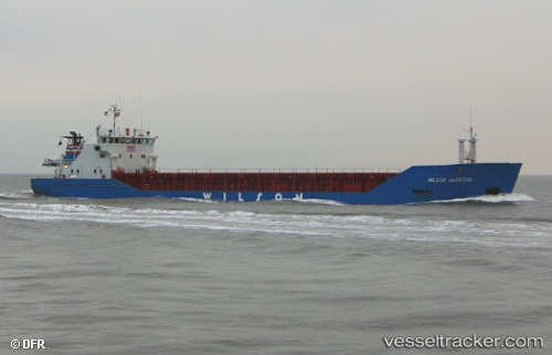
 ANNIKA
Current Status
Where is the vessel?
ANNIKA is currently in Near Gdansk, based on AIS data received about 2h ago.
Latest AIS update:
Current position: 54.36908° N, 18.66592° E (Near Gdansk)
Average speed (last 7 days): Loading…
Average speed (last 30 days): Loading…
Vessel profile: ANNIKA is a General Cargo with dimensions m x m.
This page combines live AIS, route history, probable destination signals, nearby traffic, and port activity for practical vessel monitoring.
The current position of vessel ANNIKA is 54.36908 lat / 18.66592 lng. Updated: 2026-03-28 17:46:16 UTCNearest reference points:
- Near Nowy Port/Gdansk
- Near Górki Zachodnie
- Near Sopot
Currently sailing under the flag of Finland ![]()
Details:
Live Vessel ANNIKA Analytics (details, animations, etc.)
Recent AIS points (UTC):
2026-03-28 12:32:25 UTC · 54.65192, 18.92526 · SOG 8.5 kn · COG 200°2026-03-28 14:01:35 UTC · 54.47686, 18.71192 · SOG 7 kn · COG 219°
2026-03-28 15:46:34 UTC · 54.36909, 18.66597 · SOG 0 kn · COG 346°
2026-03-28 17:46:16 UTC · 54.36908, 18.66592 · SOG 0 kn · COG 346°