 vesseltracker.com
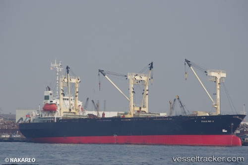
Khaled A
Current StatusWhere is the vessel?
Khaled A is currently in 58 nm SW of Umm Lajj, based on AIS data received less than 1h ago.
Latest AIS update:
Current position: 24.43541° N, 36.42857° E (58 nm SW of Umm Lajj)
Average speed (last 7 days): Loading…
Average speed (last 30 days): Loading…
Vessel profile: Khaled A is a General Cargo Ship with dimensions 22m x 98m.
This page combines live AIS, route history, probable destination signals, nearby traffic, and port activity for practical vessel monitoring.
The current position of vessel Khaled A is 24.43541 lat / 36.42857 lng. Updated: 2026-03-31 23:27:49 UTCNearest reference points:
- 35 nm S of Umm Lajj
- 74 nm SW of Yanbu
- 41 nm NW of Umm Lajj
Details:
Live Vessel Khaled A Analytics (details, animations, etc.)
Recent AIS points (UTC):
2026-03-31 17:43:19 UTC · 23.79752, 36.81609 · SOG 7 kn · COG -1°2026-03-31 19:26:19 UTC · 23.98203, 36.69917 · SOG 7 kn · COG -1°
2026-03-31 21:32:29 UTC · 24.20872, 36.56429 · SOG 7.9 kn · COG -1°
2026-03-31 23:27:49 UTC · 24.43541, 36.42857 · SOG 7 kn · COG -1°