 vesseltracker.com
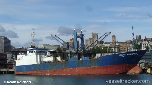
Coastal Navigator
Current StatusWhere is the vessel?
Coastal Navigator is currently in Near Dutch Harbor, based on AIS data received less than 1h ago.
Latest AIS update:
Current position: 53.87990° N, 166.53925° W (Near Dutch Harbor)
Average speed (last 7 days): Loading…
Average speed (last 30 days): Loading…
Vessel profile: Coastal Navigator is a Refrigerated Cargo Ship with dimensions 12m x 72m.
This page combines live AIS, route history, probable destination signals, nearby traffic, and port activity for practical vessel monitoring.
The current position of vessel Coastal Navigator is 53.87990 lat / -166.53925 lng. Updated: 2026-03-31 23:43:03 UTCNearest reference points:
- Near Dutch Harbor
Details:
Live Vessel Coastal Navigator Analytics (details, animations, etc.)
Recent AIS points (UTC):
2026-03-31 17:49:08 UTC · 53.87989, -166.53932 · SOG 0 kn · COG 129°2026-03-31 20:22:01 UTC · 53.87989, -166.53931 · SOG 0.1 kn · COG 128°
2026-03-31 21:25:02 UTC · 53.87982, -166.53938 · SOG 0.1 kn · COG 127°
2026-03-31 23:43:03 UTC · 53.87990, -166.53925 · SOG 0 kn · COG 128°