 vesseltracker.com
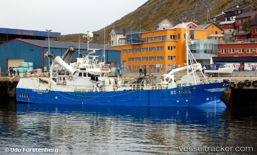
 WAFA 4
Current Status
Where is the vessel?
WAFA 4 is currently in 26 nm W of Port Etienne, based on AIS data received about 2h ago.
Latest AIS update:
Current position: 20.74098° N, 17.52176° W (26 nm W of Port Etienne)
Average speed (last 7 days): Loading…
Average speed (last 30 days): Loading…
Vessel profile: WAFA 4 is a Fishing Vessel with dimensions m x m.
This page combines live AIS, route history, probable destination signals, nearby traffic, and port activity for practical vessel monitoring.
The current position of vessel WAFA 4 is 20.74098 lat / -17.52176 lng. Updated: 2026-04-07 05:27:57 UTCNearest reference points:
- Near Nouadhibou
- 41 nm NW of Nouadhibou
- 108 nm SW of Port Etienne
Currently sailing under the flag of Mauritania ![]()
Details:
Live Vessel WAFA 4 Analytics (details, animations, etc.)
Recent AIS points (UTC):
2026-04-07 00:09:23 UTC · 20.86455, -17.00997 · SOG 7 kn · COG 196°2026-04-07 01:37:53 UTC · 20.73795, -17.09349 · SOG 6.1 kn · COG 270°
2026-04-07 04:09:53 UTC · 20.74253, -17.38574 · SOG 7.2 kn · COG 257°
2026-04-07 05:27:57 UTC · 20.74098, -17.52176 · SOG 7.8 kn · COG 177°