 vesseltracker.com
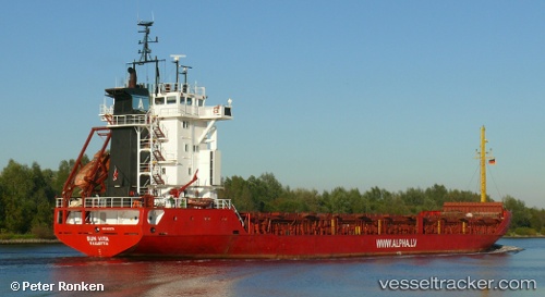
 LOS AMIGOS
Current Status
Where is the vessel?
LOS AMIGOS is currently in 14 nm NE of Donousa Kykladon, based on AIS data received less than 1h ago.
Latest AIS update:
Current position: 37.23651° N, 26.03862° E (14 nm NE of Donousa Kykladon)
Average speed (last 7 days): Loading…
Average speed (last 30 days): Loading…
Vessel profile: LOS AMIGOS is a General Cargo with dimensions m x m.
This page combines live AIS, route history, probable destination signals, nearby traffic, and port activity for practical vessel monitoring.
The current position of vessel LOS AMIGOS is 37.23651 lat / 26.03862 lng. Updated: 2026-04-22 17:03:51 UTCNearest reference points:
- Near Aigiali Amorgou
- 18 nm SW of PATMOS
- 13 nm NW of Karkinagri Ikarias
Currently sailing under the flag of Saint Kitts and Nevis ![]()
Details:
Live Vessel LOS AMIGOS Analytics (details, animations, etc.)
Recent AIS points (UTC):
2026-04-22 13:23:08 UTC · 37.74672, 25.75816 · SOG 9.4 kn · COG 156°2026-04-22 13:29:54 UTC · 37.73103, 25.76790 · SOG 9.3 kn · COG 156°
2026-04-22 16:18:06 UTC · 37.33602, 25.96980 · SOG 9.1 kn · COG 156°
2026-04-22 17:03:51 UTC · 37.23651, 26.03862 · SOG 8.5 kn · COG 158°