 vesseltracker.com
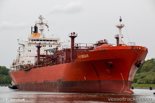
 PASTORITA
Current Status
Where is the vessel?
PASTORITA is currently in 20 nm NE of Bufadero, based on AIS data received about 2h ago.
Latest AIS update:
Current position: 21.80500° N, 76.98667° W (20 nm NE of Bufadero)
Average speed (last 7 days): Loading…
Average speed (last 30 days): Loading…
Vessel profile: PASTORITA is a LPG Tanker with dimensions 26m x 160m.
This page combines live AIS, route history, probable destination signals, nearby traffic, and port activity for practical vessel monitoring.
The current position of vessel PASTORITA is 21.80500 lat / -76.98667 lng. Updated: 2026-04-08 15:57:04 UTCNearest reference points:
- 36 nm E of Cayo Coco
- 16 nm SE of Ceiba Hueca
- Near Great Exuma Island
Currently sailing under the flag of Cuba ![]()
PASTORITA built in 1994 year
Deadweight:
23276 tDetails:
Live Vessel PASTORITA Analytics (details, animations, etc.)
Recent AIS points (UTC):
2026-04-08 12:24:01 UTC · 21.65833, -76.63833 · SOG 6 kn · COG -1°2026-04-08 13:49:39 UTC · 21.72304, -76.78327 · SOG 5.8 kn · COG 293°
2026-04-08 15:48:00 UTC · 21.79833, -76.97333 · SOG 5 kn · COG -1°
2026-04-08 15:57:04 UTC · 21.80500, -76.98667 · SOG 5 kn · COG -1°