 vesseltracker.com
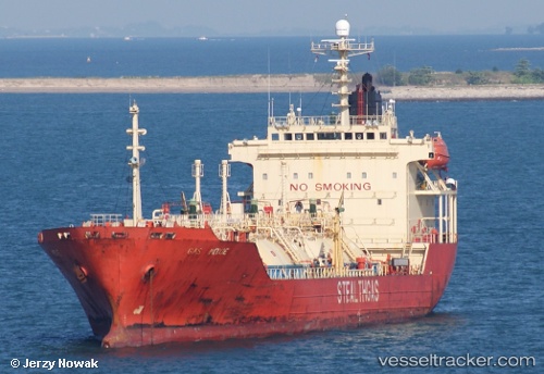
 SAKAI
SAKAI
Current Status
Where is the vessel?
SAKAI is currently in 11 nm W of Abu Musa, based on AIS data received less than 1h ago.
Latest AIS update:
Current position: 25.89026° N, 54.78266° E (11 nm W of Abu Musa)
Average speed (last 7 days): Loading…
Average speed (last 30 days): Loading…
Vessel profile: SAKAI is a Lpg Tanker with dimensions m x m.
This page combines live AIS, route history, probable destination signals, nearby traffic, and port activity for practical vessel monitoring.
The current position of vessel SAKAI is 25.89026 lat / 54.78266 lng. Updated: 2026-03-30 05:05:04 UTCNearest reference points:
- 17 nm NW of Free Port
- 11 nm SW of Fateh Terminal
- Near Free Port
Currently sailing under the flag of Botswana ![]()
Details:
Live Vessel SAKAI Analytics (details, animations, etc.)
Recent AIS points (UTC):
2026-03-29 06:43:17 UTC · 25.89030, 54.78253 · SOG 0.1 kn · COG -1°2026-03-29 06:43:17 UTC · 25.89030, 54.78253 · SOG 0.1 kn · COG -1°
2026-03-30 03:44:05 UTC · 25.89037, 54.78253 · SOG 0.1 kn · COG 285°
2026-03-30 05:05:04 UTC · 25.89026, 54.78266 · SOG 0.1 kn · COG 285°