 vesseltracker.com
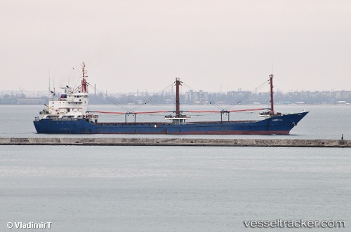
Find the position of the vessel UMIT G on the map. The latter are known coordinates and path.
marine traffic ship tracker show on live map
The current position of vessel UMIT G is 40.8539 lat / 29.2867 lng. Updated: 2024-05-02 22:11:46 UTCCurrently sailing under the flag of Panama
UMIT G built in 1991 year
Deadweight:
4495 tPayload_mass:
4495 tonneGross tonnage:
2805Service entry:
1991-01-01T00:00:00ZDetails:
Last coordinates of the vessel:
UTC, 40.8539, 29.2867, course: -1, speed: 0.1UTC, 40.8539, 29.2867, course: -1, speed: 0.1
UTC, 40.8539, 29.2867, course: -1, speed: 0
2024-05-02 22:11:46 UTC, 40.8539, 29.2867, course: -1, speed: 0.1
The ship also appears on the maps: