 vesseltracker.com
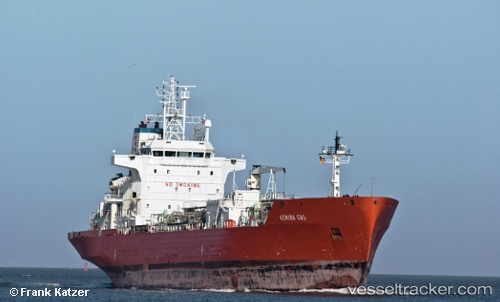
 CRAVE
CRAVE
Current Status
Where is the vessel?
CRAVE is currently in 15 nm SW of ABU MUSA, based on AIS data received about 1h ago.
Latest AIS update:
Current position: 25.69300° N, 54.82417° E (15 nm SW of ABU MUSA)
Average speed (last 7 days): Loading…
Average speed (last 30 days): Loading…
Vessel profile: CRAVE is a Lpg Tanker with dimensions m x m.
This page combines live AIS, route history, probable destination signals, nearby traffic, and port activity for practical vessel monitoring.
The current position of vessel CRAVE is 25.69300 lat / 54.82417 lng. Updated: 2026-04-02 17:45:57 UTCNearest reference points:
- 17 nm NW of Free Port
- Near Free Port
- 11 nm SW of Fateh Terminal
Currently sailing under the flag of Mali ![]()
Details:
Live Vessel CRAVE Analytics (details, animations, etc.)
Recent AIS points (UTC):
2026-04-02 12:24:08 UTC · 25.69233, 54.82250 · SOG 0.4 kn · COG 130°2026-04-02 14:24:19 UTC · 25.69267, 54.82300 · SOG 0.2 kn · COG 153°
2026-04-02 16:13:49 UTC · 25.69300, 54.82384 · SOG 0.2 kn · COG 170°
2026-04-02 17:45:57 UTC · 25.69300, 54.82417 · SOG 0.2 kn · COG 182°