 vesseltracker.com
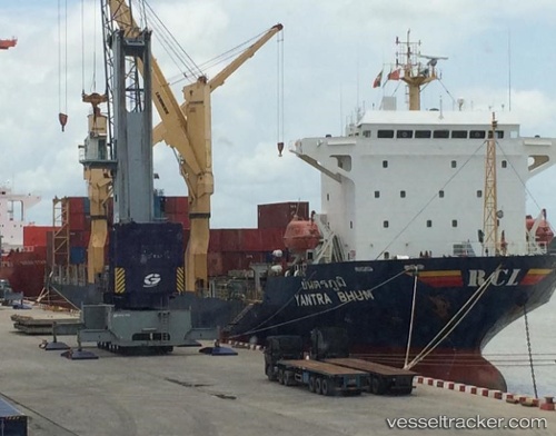
 TONY STARK
Current Status
Where is the vessel?
TONY STARK is currently in Near EEMSHAVEN, based on AIS data received about 1h ago.
Latest AIS update:
Current position: 53.45196° N, 6.82355° E (Near EEMSHAVEN)
Average speed (last 7 days): Loading…
Average speed (last 30 days): Loading…
Vessel profile: TONY STARK is a Reefer/Container Ship with dimensions m x m.
This page combines live AIS, route history, probable destination signals, nearby traffic, and port activity for practical vessel monitoring.
The current position of vessel TONY STARK is 53.45196 lat / 6.82355 lng. Updated: 2026-03-31 01:56:35 UTCNearest reference points:
- Near Borkum
- Near APPINGEDAM
- Near Kolham
Currently sailing under the flag of Antigua and Barbuda ![]()
Details:
Live Vessel TONY STARK Analytics (details, animations, etc.)
Recent AIS points (UTC):
2026-03-30 20:01:36 UTC · 53.45198, 6.82355 · SOG 0 kn · COG 105°2026-03-30 21:59:22 UTC · 53.45197, 6.82355 · SOG 0 kn · COG 105°
2026-03-30 23:52:38 UTC · 53.45197, 6.82353 · SOG 0 kn · COG 105°
2026-03-31 01:56:35 UTC · 53.45196, 6.82355 · SOG 0 kn · COG 106°