 vesseltracker.com
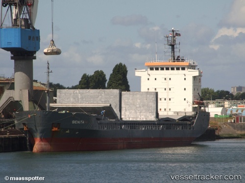
 DIANA STAR
Current Status
Where is the vessel?
DIANA STAR is currently in 15 nm N of Aliaga, based on AIS data received less than 1h ago.
Latest AIS update:
Current position: 39.07170° N, 26.88514° E (15 nm N of Aliaga)
Average speed (last 7 days): Loading…
Average speed (last 30 days): Loading…
Vessel profile: DIANA STAR is a General Cargo with dimensions m x m.
This page combines live AIS, route history, probable destination signals, nearby traffic, and port activity for practical vessel monitoring.
The current position of vessel DIANA STAR is 39.07170 lat / 26.88514 lng. Updated: 2026-04-21 05:56:56 UTCNearest reference points:
- Near Aliaga
- Near Nemrut Bay
- Near NEMRUT
Currently sailing under the flag of Togo ![]()
Details:
Live Vessel DIANA STAR Analytics (details, animations, etc.)
Recent AIS points (UTC):
2026-04-21 02:05:57 UTC · 39.07169, 26.88506 · SOG 0 kn · COG 137°2026-04-21 03:59:56 UTC · 39.07168, 26.88511 · SOG 0 kn · COG 136°
2026-04-21 04:35:56 UTC · 39.07167, 26.88511 · SOG 0 kn · COG 138°
2026-04-21 05:56:56 UTC · 39.07170, 26.88514 · SOG 0 kn · COG 137°