 vesseltracker.com
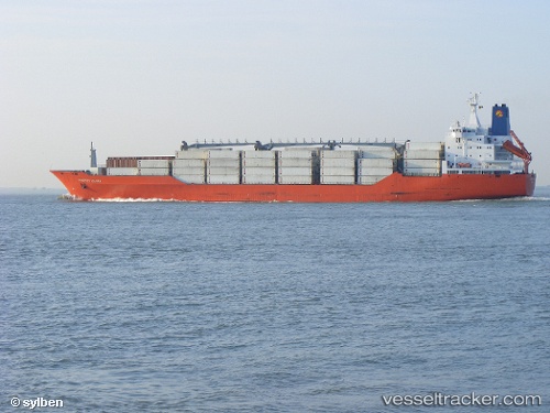
Charles Island
Current StatusWhere is the vessel?
Charles Island is currently in 33 nm S of Attikon, based on AIS data received about 2h ago.
Latest AIS update:
Current position: 47.35605° N, 9.57775° W (33 nm S of Attikon)
Average speed (last 7 days): Loading…
Average speed (last 30 days): Loading…
Vessel profile: Charles Island is a Refrigerated Cargo Ship with dimensions 25m x 180m.
This page combines live AIS, route history, probable destination signals, nearby traffic, and port activity for practical vessel monitoring.
The current position of vessel Charles Island is 47.35605 lat / -9.57775 lng. Updated: 2026-03-29 06:33:54 UTCNearest reference points:
- 44 nm SE of Brady
- 58 nm SE of Rietheim-Weilheim
- 57 nm S of Boboras
Details:
Live Vessel Charles Island Analytics (details, animations, etc.)
Recent AIS points (UTC):
2026-03-29 01:07:45 UTC · 48.03904, -8.08208 · SOG 16.6 kn · COG 235°2026-03-29 03:21:03 UTC · 47.85410, -8.48867 · SOG 15.9 kn · COG 234°
2026-03-29 04:29:17 UTC · 47.67720, -8.87506 · SOG 15.9 kn · COG 235°
2026-03-29 06:33:54 UTC · 47.35605, -9.57775 · SOG 16.1 kn · COG 234°