 vesseltracker.com
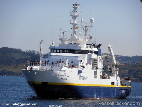
Thalassa
Current StatusWhere is the vessel?
Thalassa is currently in 291 nm SW of Harper, based on AIS data received less than 1h ago.
Latest AIS update:
Current position: 0.00700° N, 9.84575° W (291 nm SW of Harper)
Average speed (last 7 days): Loading…
Average speed (last 30 days): Loading…
Vessel profile: Thalassa is a Fishing Support Vessel with dimensions 14m x 74m.
This page combines live AIS, route history, probable destination signals, nearby traffic, and port activity for practical vessel monitoring.
The current position of vessel Thalassa is 0.00700 lat / -9.84575 lng. Updated: 2026-04-02 23:48:21 UTCNearest reference points:
- Open sea, approx. 400 nm off the nearest listed port
- Open sea, approx. 401 nm off the nearest listed port
- Open sea, approx. 403 nm off the nearest listed port
Thalassa built in 1996 year
Details:
Live Vessel Thalassa Analytics (details, animations, etc.)
Recent AIS points (UTC):
2026-04-02 18:20:48 UTC · -0.00146, -9.86118 · SOG 0.1 kn · COG 64°2026-04-02 20:03:24 UTC · 0.00869, -9.84863 · SOG 0.1 kn · COG 101°
2026-04-02 22:14:20 UTC · 0.00800, -9.85946 · SOG 0.8 kn · COG 91°
2026-04-02 23:48:21 UTC · 0.00700, -9.84575 · SOG 1.6 kn · COG 270°