 vesseltracker.com
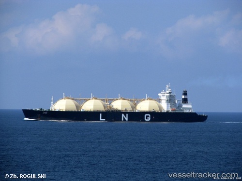
 Al Hamra
Current Status
Where is the vessel?
Al Hamra is currently in 216 nm SW of Veraval, based on AIS data received about 2h ago.
Latest AIS update:
Current position: 19.09500° N, 67.05167° E (216 nm SW of Veraval)
Average speed (last 7 days): Loading…
Average speed (last 30 days): Loading…
Vessel profile: Al Hamra is a Lng Tanker with dimensions 290m x 290m.
This page combines live AIS, route history, probable destination signals, nearby traffic, and port activity for practical vessel monitoring.
The current position of vessel Al Hamra is 19.09500 lat / 67.05167 lng. Updated: 2026-03-28 07:29:05 UTCNearest reference points:
- 236 nm SW of Veraval
- 231 nm SW of Keti Bandar
- 54 nm S of Positra
Currently sailing under the flag of Liberia ![]()
Al Hamra built in 1997 year
Deadweight:
72990 tDetails:
Live Vessel Al Hamra Analytics (details, animations, etc.)
Recent AIS points (UTC):
2026-03-28 02:27:09 UTC · 19.20267, 66.63367 · SOG 6.1 kn · COG 126°2026-03-28 04:22:59 UTC · 19.11333, 66.88833 · SOG 6 kn · COG -1°
2026-03-28 05:22:59 UTC · 19.09833, 66.98333 · SOG 5 kn · COG -1°
2026-03-28 07:29:05 UTC · 19.09500, 67.05167 · SOG 1 kn · COG -1°