 vesseltracker.com
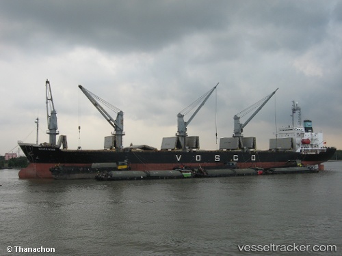
 ALORA
ALORA
Current Status
Where is the vessel?
ALORA is currently in Near Ras Al Kethib, based on AIS data received about 3h ago.
Latest AIS update:
Current position: 14.97587° N, 42.76867° E (Near Ras Al Kethib)
Average speed (last 7 days): Loading…
Average speed (last 30 days): Loading…
Vessel profile: ALORA is a Bulk Carrier with dimensions m x m.
This page combines live AIS, route history, probable destination signals, nearby traffic, and port activity for practical vessel monitoring.
The current position of vessel ALORA is 14.97587 lat / 42.76867 lng. Updated: 2026-04-01 10:54:51 UTCNearest reference points:
- 81 nm NW of As Salif
- Near Jazan Economic City
- 92 nm SW of Al Qahmah
Currently sailing under the flag of Comoros ![]()
Details:
Live Vessel ALORA Analytics (details, animations, etc.)
Recent AIS points (UTC):
2026-04-01 08:21:30 UTC · 14.97599, 42.76868 · SOG 0 kn · COG -1°2026-04-01 08:21:30 UTC · 14.97599, 42.76868 · SOG 0 kn · COG -1°
2026-04-01 10:54:51 UTC · 14.97587, 42.76867 · SOG 0 kn · COG -1°
2026-04-01 10:54:51 UTC · 14.97587, 42.76867 · SOG 0 kn · COG -1°