 vesseltracker.com
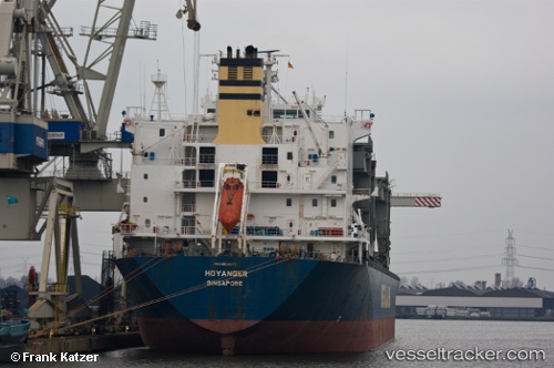
 HOYANGER
Current Status
Where is the vessel?
HOYANGER is currently in 298 nm W of Bernal, based on AIS data received about 2h ago.
Latest AIS update:
Current position: 34.50917° S, 44.26760° W (298 nm W of Bernal)
Average speed (last 7 days): Loading…
Average speed (last 30 days): Loading…
Vessel profile: HOYANGER is a General Cargo Ship with dimensions 31m x 213m.
This page combines live AIS, route history, probable destination signals, nearby traffic, and port activity for practical vessel monitoring.
The current position of vessel HOYANGER is -34.50917 lat / -44.26760 lng. Updated: 2026-03-26 14:21:06 UTCNearest reference points:
- Open sea, approx. 402 nm off the nearest listed port
Currently sailing under the flag of Marshall Islands ![]()
HOYANGER built in 1995 year
Deadweight:
50198 tDetails:
Live Vessel HOYANGER Analytics (details, animations, etc.)
Recent AIS points (UTC):
2026-03-26 07:40:37 UTC · -34.10141, -45.76378 · SOG 11.9 kn · COG 106°2026-03-26 09:55:37 UTC · -34.25494, -45.25758 · SOG 11.8 kn · COG 112°
2026-03-26 11:46:55 UTC · -34.36760, -44.84071 · SOG 11.6 kn · COG 110°
2026-03-26 14:21:06 UTC · -34.50917, -44.26760 · SOG 11.6 kn · COG 106°